Project: Berlin Hypotheses
Context: Artistic research work from the PhD The Animate Drawing
Published in: Footprint 6: Drawing, Mapping and Haecceity
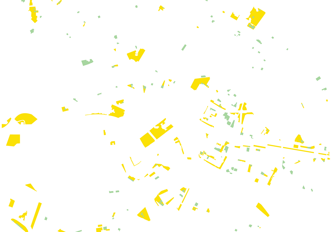
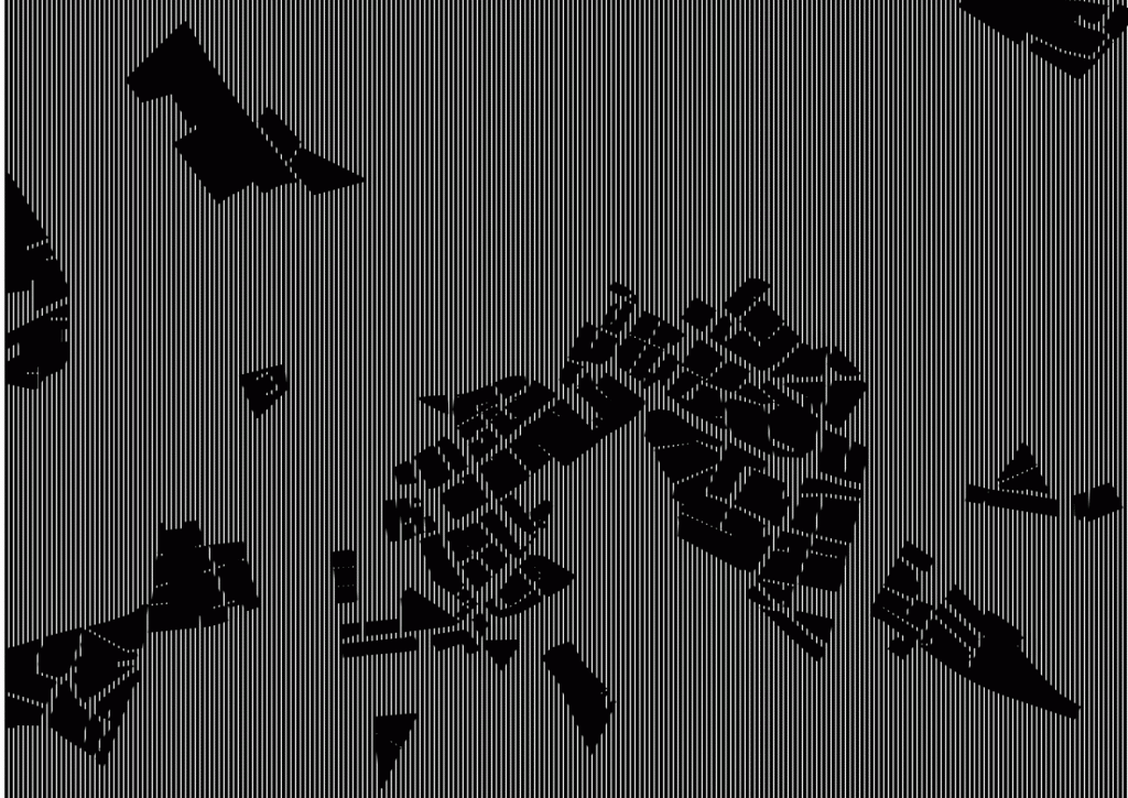
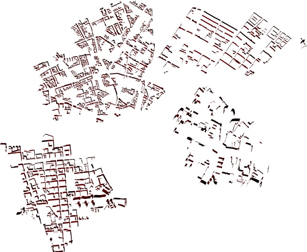
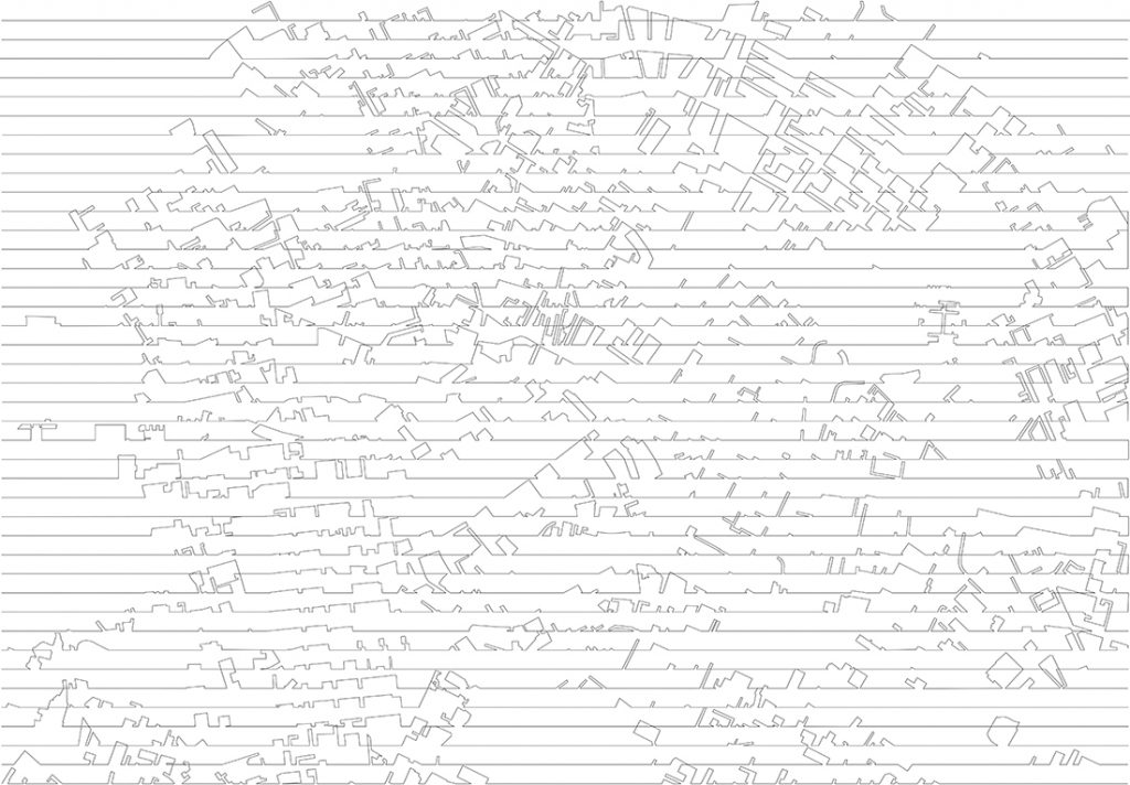
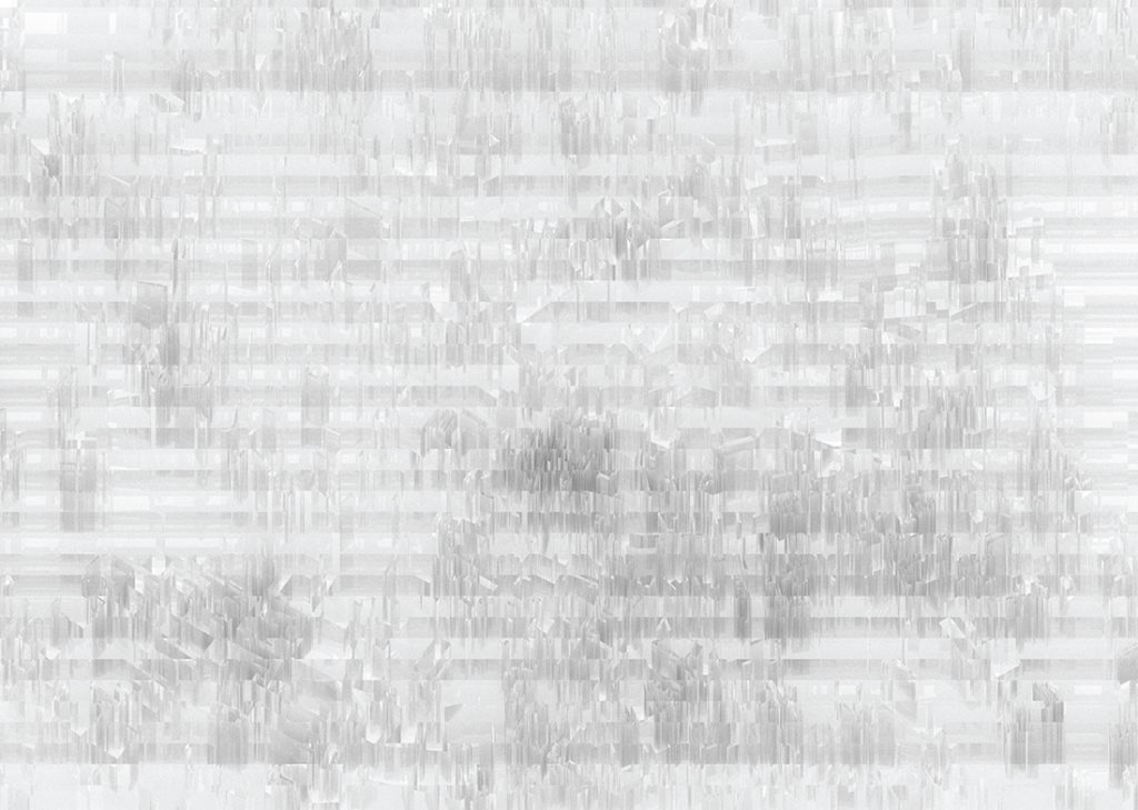
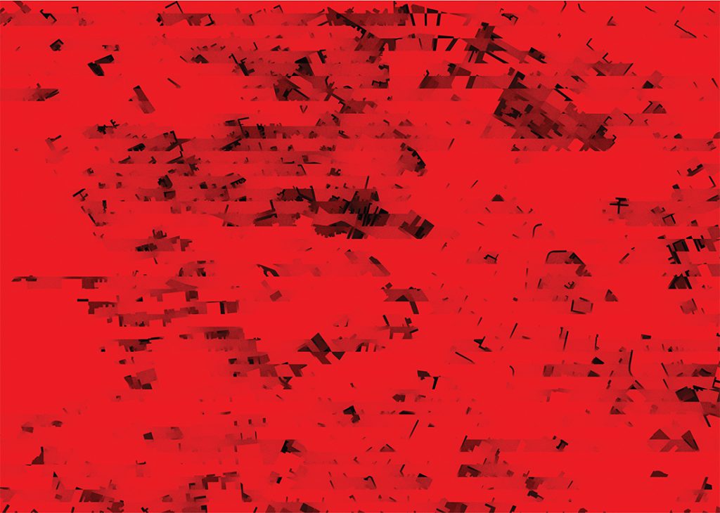
The Berlin maps series explore the how is it possible to draw changes over time. By comparing maps from 1945 with contemporary ones, changes in the city became visible and could be drawn in different ways. The first maps traced the relation between building damage in WW2 and the locations of parks and playgrounds today, the later maps traced shadows and patterns in the urban tissue.